GPS to Lambert in Morocco: avoiding coordinate errors
Why GPS positions and Moroccan Lambert filings differ, where hand conversion goes wrong, and how the zone, altitude and every format can stay on each point.
The phone in the geologist’s hand reports latitude and longitude. The Moroccan administration expects Lambert coordinates in metres. Somewhere between the two, often late in the evening, someone pastes a column into an Excel sheet inherited from a former colleague and trusts the formula.
When that goes wrong, the result still looks plausible. The numbers have the right number of digits, and nothing flags them until a boundary refuses to close or a filing comes back rejected. By then the error may have been copied into several other files.
Why this is more than a formula
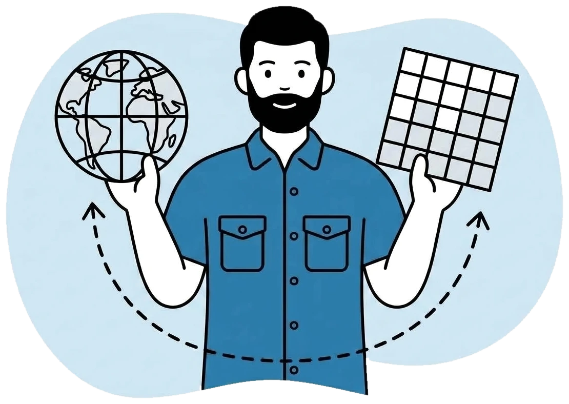
A GPS position is a geographic coordinate on WGS84. Lambert Nord Maroc and Lambert Sud Maroc are projected grids, each built for its own part of the country, and they rest on a different geodetic datum. The conversion therefore involves a change of datum as well as a projection. A spreadsheet that skips or approximates the first step gives an offset that is very hard to spot by eye.
The zone is the second trap. The same pair of numbers points to different places on the northern and southern grids, so a point entered in the wrong zone can land a long way from where it was taken. A team working permits in both the north and the south meets this risk every time it switches.
One point, three formats
FlexiMining keeps four things on every point: the GPS position, Lambert Nord, Lambert Sud and the altitude. Nobody converts anything by hand. Enter a point in the system it was captured in, and the others fill in, the same way every time.
The zone follows the permit. On the phone, on the web or through an Excel import, every coordinate uses the Lambert zone of the permit it belongs to. Your team types the numbers and never has to choose the zone, which removes the most common survey mistake.
Altitude is converted along with the position, so the heights on your filings stay tied to the same point as the rest of the record. When a filing needs coordinates, they are already in the format the administration expects, with no separate sheet to maintain. Boundaries and points also move in and out of your GIS in KML and GeoJSON.
What a conversion cannot fix
A conversion carries a position from one system to another. It cannot make the original measurement better, and this distinction deserves more attention than it gets.
A phone’s GPS has a margin of error that varies with the terrain and the view of the sky, and its altitude is generally weaker than its horizontal position. Where a boundary, a drill collar or a filing calls for a surveyed measurement, the surveyor’s instrument stays the reference. Your team can type those numbers into the platform, and they are then stored and converted like any other point.
So FlexiMining removes the errors of conversion and zone choice. It does not remove field measurement error, and no software can. If your procedures require a certain survey method for a certain kind of point, those procedures still apply.
Permits outside Morocco
The Moroccan systems are built in and work from the start. FlexiMining also serves companies elsewhere in the Maghreb and in West Africa, where the coordinate systems are different. Those are added on request as custom work, quoted in days.
If your permits sit outside Morocco, raise it before setup and check the result on real points during a trial. Convert a few positions whose official coordinates you already know, and compare them with what the platform gives you. Do that with the Moroccan zones too. It takes very little time, and a geologist will trust the numbers far more after seeing them match.