How to stop retyping field notes at camp
Retyping notes at camp costs geologist time and adds errors. How recording points, photos and samples on the phone, once and on site, removes that step.
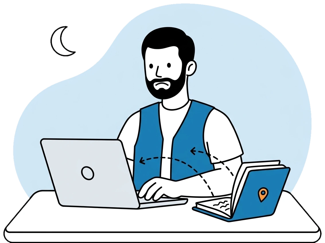
The working day ends at the outcrop and starts again at the camp table. Under a lamp, the geologist opens the notebook and types the day’s points into a spreadsheet: rock types, minerals, sample references, coordinates read off a GPS. Dust and rain have not helped the handwriting. An abbreviation that made perfect sense in the morning now means nothing.
From the office this looks like a small nuisance. It is skilled time going into data entry, at the end of a long day, done by someone who is tired and would rather be planning tomorrow’s traverse.
Where the errors come in
Every copy is a chance to get something wrong. A swapped digit in a coordinate moves a point. A sample number written twice sends a lab result to the wrong place later on. Photos sit on a phone in date order, and somebody has to work out which one belongs to which point.
None of these mistakes announces itself. They surface later, when the map looks odd or an assay does not fit the rock, and by then the person who could remember that outcrop has moved on to another permit.
There is a delay as well. Notes that wait for the evening, or for the end of the mission, reach the chief geologist late, so the decision about where to go next rests on part of the picture.
Recording the point where it is observed
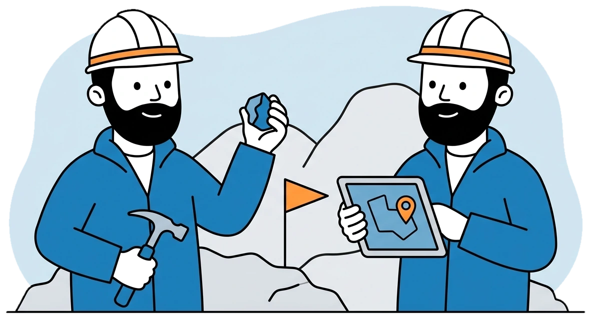
With FlexiMining, the geologist opens the mission on the phone and records the point on site. The record holds rock type, minerals with their concentration, photos and samples. GPS and Lambert coordinates are saved automatically, and a signature can be captured in the same place. Sample references link to the point code, so the sample and the observation are attached from the start.
The same app covers more than a single point. A trench, a sampling zone or a full drill hole can be logged from it. At an outcrop with many observations, the “add another” option lets the geologist go straight to the next point without leaving the form. Sign-in uses Face ID or a fingerprint, which saves typing a password on a slope.
All of this works with or without signal. Records wait on the phone and sync by themselves when the connection returns, photos included. By the time the crew sits down at camp, there is nothing left to retype.
What changes for the chief geologist
Field work reaches the office as structured records instead of a stack of notebooks to decipher. The chief geologist can plan a mission and follow it from the first day to validated results. A mission moves from planned to in progress to results submitted, and then to validated or rejected.
Sign-off changes too. The geologist, the chief geologist and the director each approve in the platform, and each step stays on record. That replaces the email threads and verbal approvals that nobody can find when a question comes up a year later.
Does the notebook disappear?
It does not have to. Some geologists will always want paper for a sketch or a thought about the structure, and nothing stops them. What ends is paper as the primary record that has to be copied later. The point, its coordinates, its minerals and its photos exist once, in one place.
Older data can skip the retyping as well. A whole drilling campaign can come in from one Excel workbook, and coordinates imported from Excel take the Lambert zone of the permit they belong to.