What happens to field data when there is no signal
Permits rarely sit where the networks do. What a field app should save on the phone, how records sync when the signal returns, and which limits to test.
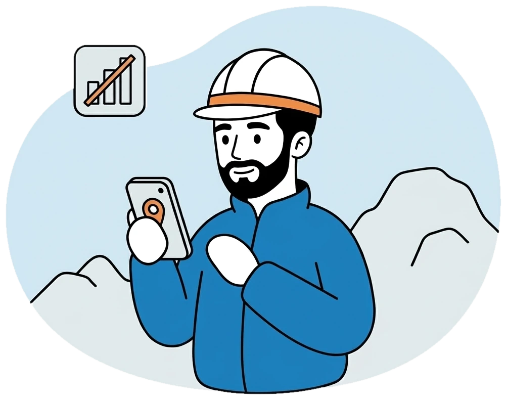
Permits rarely sit where the phone networks do. A crew can spend the whole day in a zone without coverage, then drive back to a camp where the connection comes and goes. A field tool that needs signal to save a record fails exactly where it is needed, and geologists learn very quickly to go back to paper.
So asking whether an app has an offline mode gets you a yes and very little else. The better question is what happens to a record from the moment the geologist taps save until it reaches the office, and what happens if somebody else has changed the same record in the meantime.
What stays on the phone
FlexiMining Mobile, on iOS and Android, was built to work without signal first. Points, photos, samples and expenses are saved on the phone, and the geologist’s routine does not change when the bars disappear. GPS and Lambert coordinates are stored on the point as usual. Sign-in by Face ID or fingerprint works on site without typing a password.
Screens that display information fall back on what the phone last loaded. In practice, it is worth opening your assigned permits and missions before you leave coverage, so the phone already holds them when the signal drops.
What happens when the signal returns
Records sync by themselves, in the order they were made, and nobody has to run an export. If a send fails, it retries, and queued photos go up with the rest. A geologist passing through a patch of coverage on the way back to camp does not have to remember anything.
Conflicts are the part most tools gloss over. Suppose a record was edited on the phone in the field and also at the office. If the same record changed in two places, you choose which version to keep, so one person’s work does not quietly erase another’s. That is a small dialog on a screen, and it matters a lot on the day it appears.
The limits worth knowing
Offline capture has honest boundaries, and they are better learned before a mission than during one.
- Until it syncs, the record exists on that phone alone. A damaged or lost phone can take unsynced work with it, so a phone should sync whenever it has the chance.
- The live team map is near real time and relies on a connection. A crew out of coverage cannot report its position until the signal returns, so the office sees where it last was.
- Expense approval happens online. The geologist can record an expense with its receipt offline, but the approval waits for a connection on the approver’s side and the record’s arrival.
- New permits do not start on the phone. Titles come from an approved licence application, and the in-app creation screen is still marked as coming soon.
Testing it before you rely on it
An offline claim is easy to check, and a good vendor should expect you to check it. Take a phone to a place with no coverage, or put it in flight mode. Record a few points with photos and a sample. Change one of those records from the office. Then reconnect and watch the order in which things arrive, and what you are asked when the two versions meet.
While you are out there, look at the map layers you depend on in your own zone, since satellite and terrain views matter as much in the field as the form does. A geologist who has seen a day’s work arrive intact after a day without signal will stop carrying a backup notebook for the coordinates.